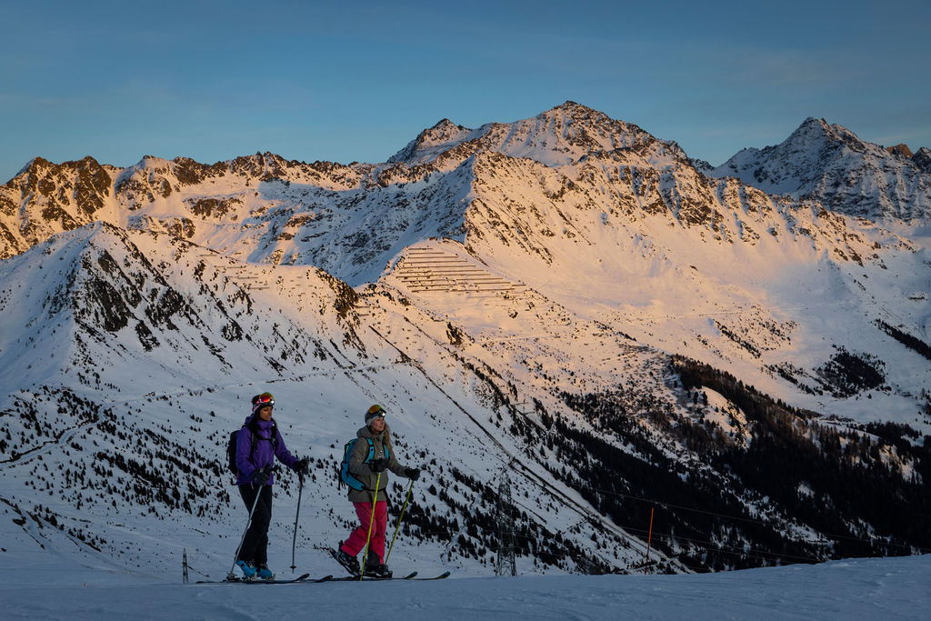
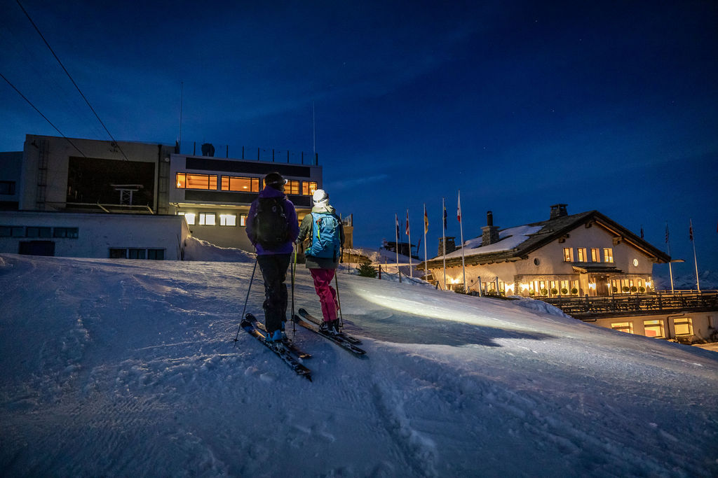
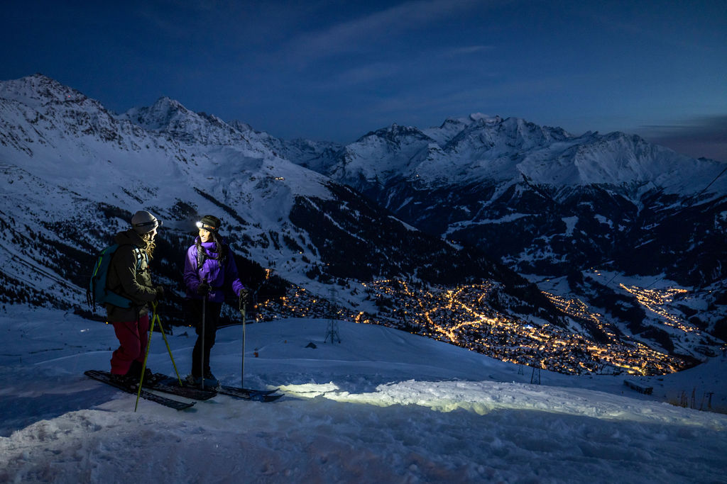
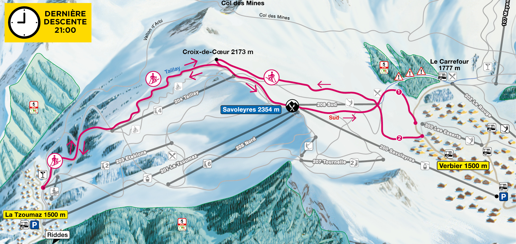
Verbier – Savoleyres trail

Verbier – Savoleyres
Variation 1
From the Les Esserts bus stop, ascend along the Planards-Carrefour red run as far as Les Planards.
From there, take the cross-country ski/snowshoe route (pink markers) up to the Croix de Coeur (2173 m).
Then follow the blue run that runs along the crest up to theSavoleyres summit.
Variation 2
From the Sonalon bus stop, follow the road that leads to the Marlénaz restaurant for 700 metres, as far as Mayen du Bry. From there, take the cross-country ski/snowshoe route (pink markers) up to the Croix de Coeur (2173 m) via Les Planards. Then follow the blue run that runs along the crest up to the Savoleyres summit.
The lower part of this variation is not as steep or demanding as that of variation 1.
Descent
take the “South” red run as far as Les Planards then the “Planards-Esserts” red run to the Les Esserts bus stop (bus routes 1, 5 and 6).
Please note
A descent along the marked, groomed pistes is only permitted on Wednesday evenings – the official evening for cross-country skiing in the Savoleyres sector.
Last slope at 9PM
La Tzoumaz – Savoleyres
From the Chablotays parking spaces, follow the sledge run to the departure station of the Taillay chairlift. From there, take the blue trail from Le Taillay to the summit of Savoleyres.
Descent
By the same route. Do not use other pistes, danger of death! ( Machines with winch in action)
Descents on the marked and prepared pistes are only permitted on Wednesday evenings, the official evening for ski touring in the Savoleyres sector!
Last slope at 9PM
Trail datas
Verbier variation 1
Altitude difference: 650m
Start: Verbier (Les Esserts) 1690m
Finish: Savoleyres 2340m
Verbier variation 2
Altitude difference: 590m
Start: Verbier (Le Sonalon) 1750m
Finish: Savoleyres : 2340m
Tzoumaz
Altitude difference: 710m
Start: La Tzoumaz (Les Chablotays) 1630m
Finish: Savoleyres 2340m
Restaurant
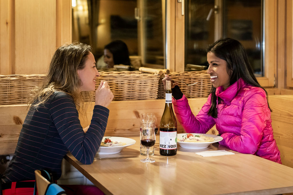
On the menu : Pasta with choice of sauces
Contact
Restaurant de Savoleyres
Tel. +41 27 775 26 28
Info cancellation
Téléverbier – Secteur Savoleyres
Tel. +41 27 775 25 11
Email: hc.re1752054256ibrev1752054256elet@1752054256ofni1752054256


